OS Quarter Inch Fourth Series 1945-1950
New on SABRE Maps are four additional OS Quarter Inch maps from the immediate post-war period to add to our already large georeferenced collection
Whilst SABRE Maps already has a large collection from this era, these additional editions of the following sheets from the England and Wales series: * Sheet 1 (The Border) Revision 20046 * Sheet 7 (South Wales) Revision 2027 * Sheet 12 (England, South East and London) Revision 25045/Ch And the following from the Scottish series: * Sheet 4 (Glasgow and the Middle West) Revision 2019
They can be found on the OS Quarter Inch section of SABRE Maps, on the 1945, 1946, 1948 and 1950 layers.
This means that we're only missing five post-war editions of this series - could you help us acquire these, perhaps by scanning items in your personal collection?

B933
The B933 provides a short link in Leven, running along Glenlyon Road and Riverside Road between the A915 and A955. It starts at a signalised crossroads on the A915 to the north of Leven and heads south on Glenlyon Road past houses and a park before entering a more industrial area. After crossing a roundabout it follows Riverside Road past a retail park, with another roundabout before the terminal one...
Recent SABRE Forum discussions
-
A31 Guildford to Winchester - Were There Bigger Plans?
British and Irish Roads Ritchie333 21/05/2024 20:45

Photo of the Month
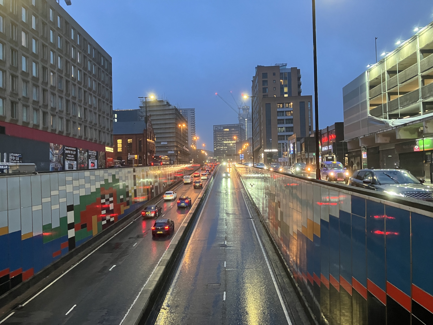
Wet evening on the Suffolk Street Queensway
Big l
Why not take part in our Photo of the Month competition?
Nominations are open now!
The winner has their photo displayed in this box, plus as a background on the home page and top menu bar.
Image Galleries
We have a large collection of images of the UK and Ireland's road network.
These include photos of roads, signage, road features, bridges, street furniture, tunnels, and bridges.
We also have diagrams of both historic and future road layouts and junctions.
Why not add your own images? Please note, you must hold the appropriate copyright permissions to do so.

We need your help!
Do you have any out of copyright maps?
Do you have some local knowledge to add to the SABRE Wiki?
Do you have some time to easily georeference a map?
There's plenty to do and we're always after volunteers!

Donate
Could you help with our server and storage costs?We can also pay for libraries to scan their archive material for us
We accept donations in £ or € from a bank transfer or PayPal.
Any amount will help us!
.jpg&width=800&height=600)
Social Media
In addition to this website, we're also present on a number of social media platforms. Why not give us a like or follow?
Society
SABRE is more than just a website - we're a real-world society.We hold regular "awaydays", either in person or virtually, and "roadtrips" to visit different areas. All members are welcome.
-
SABRE at 25
SABRE turns 25 on 13th August! Join us in celebrating this milestone and see what everyone has to offer discussing the road network and history. 17th August 2024 1:00 PM The George, Kilsby, Northamptonshire

Contact SABRE & Help
Are you needing any help with the Society, or are you wishing to contact us?We're always willing to give assistance and help with research or media enquiries. Remember that SABRE is neither pro- nor anti- roads group.