File:Lay-by on the A35 - Geograph - 379192.jpg
Jump to navigation
Jump to search

No higher resolution available.
Lay-by_on_the_A35_-_Geograph_-_379192.jpg (640 × 427 pixels, file size: 88 KB, MIME type: image/jpeg)
| |||||||||||||||||||||||||
|
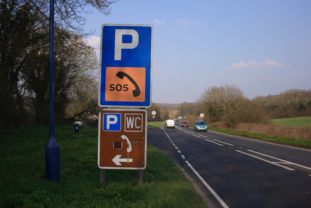
Galleries | A35 | Dorchester | Information Sign/Parking Signs | Emergency roadside telephone | Dorset | ||
File history
Click on a date/time to view the file as it appeared at that time.
| Date/Time | Thumbnail | Dimensions | User | Comment | |
|---|---|---|---|---|---|
| current | 23:38, 9 March 2012 | | 640 × 427 (88 KB) | Glen (talk | contribs) | Lay-by on the A35 |
File usage
The following 2 pages use this file: