 | |  |
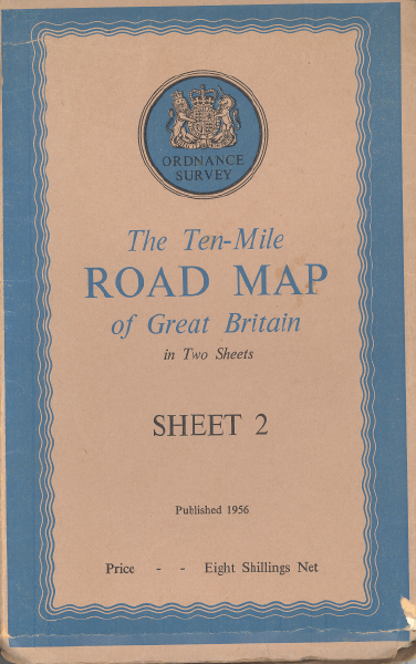
| | Description: | Ordnance Survey Ten-Mile Road Map of Great Britain cover, 1956 edition | | Location: | This picture currently has no coords, edit this page to add them. | | Road: | | | Date: | | | Photographer: | | | Source: | |
| |
 | |  |
File history
Click on a date/time to view the file as it appeared at that time.
| Date/Time | Thumbnail | Dimensions | User | Comment |
|---|
| current | 09:56, 28 February 2021 |  | 390 × 622 (446 KB) | Steven (talk | contribs) | Ordnance Survey Ten-Mile Road Map of Great Britain cover, 1956 edition |
File usage
The following 3 pages use this file:
This file contains additional information, probably added from the digital camera or scanner used to create or digitise it.
If the file has been modified from its original state, some details may not fully reflect the modified file.
