OS Tourist
| Tourist | |||
 | |||
| |||
| Publisher: | Ordnance Survey | ||
| Scale: | various | ||
| First Published: | 1856 | ||
| Final Publication: | present | ||
| SABRE Maps layer: | No | ||
Tourist or District maps are a long-running series of Ordnance Survey maps, consisting of standard mapping coverage reframed to allow better coverage of other areas; as well as mapping showing additional tourism information or more attrachive hill shading.
The first post-war Tourist map was published in 1948 of the Lake District at One Inch scale, whilst the first Quarter Inch sheet, of Wales and the Marches was published in 1959.
Yet another scale was added to the Tourist series in 1962, when the Half Inch series was withdrawn and its maps reissued as District sheets in the Tourist series. These did not last long and were withdrawn again in the late 1960s. Before the close of the century, yet more scales had come to the series (such as 1:250,000 and 1:208,000)
The series was renamed Touring starting in 1988, whilst in 1992 the final One Inch sheet (Yorkshire Dales) was produced. In 2002, the series was renamed again as Travel Map - Tour.
Overall, the Tourist Maps are probably the most confusing OS series of them all, featuring all manner of different scales both original and photographic enlargements of other scales.
SABRE Maps
No specific Tourist coverage is available on SABRE Maps, although some Tourist mapping (such as the Quarter Inch map of Wales and the Marches) appears on scale-appropriate layers.
Covers
- OS Tourist and District covers
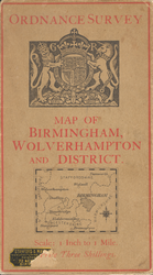
1927 "Special Sheet" District map
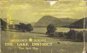
The first post-war Tourist sheet
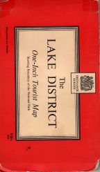
Touring Map cover, Late 1950s-early 1960s
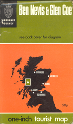
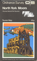
Tourist Map, late 1960s style
1970s style cover
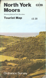
1980s photographic cover
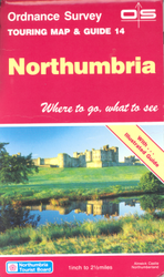
Touring Map cover, 1991
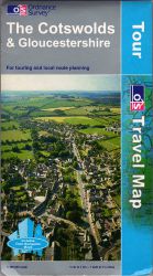
Touring Map cover, 2003


| OS Tourist | ||||||||
| ||||||||
|